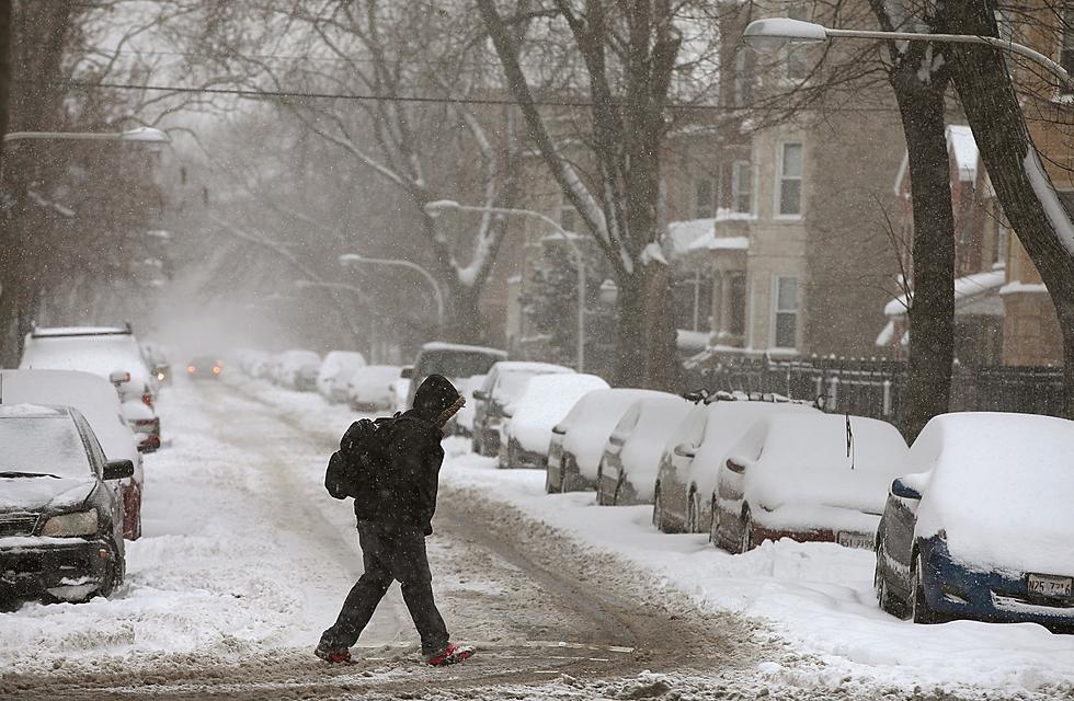
Winter Storm is Here-Up to 9 Inches of Snow Expected by 5 p.m.
It's getting here a little later than originally forecast, but it is getting here.

As of 7 a.m. Thursday, a wintry mix was starting to make its way through the area, with the mix changing over to all snow by 8 a.m. and then continue until about 5 p.m.
Most of the area continues under a Winter Storm Warning until 9 p.m. For Hancock County, the Warning expires at 6 p.m.
The Winter Storm Warning for Clark County was cancelled and replaced with a Winter Weather Advisory until 6 p.m.
An area from Canton and Quincy to Pittsfield and New London should expect 6 to 9 inches of snow by this evening, with about a third of an inch of sleet and up to a tenth of an inch of ice.
The folks from Louisiana to Mexico should look for 3 to 8 inches of snow, with about three quarters of an inch of sleet and up to a tenth of an inch of ice.
In Carthage and Hamilton, expect 3 to 6 inches of snow.
If you're in Kahoka, forecasters are calling for 2 to 4 inches of snow for you.
Everybody should expect winds gusting from 35 to 40 miles per hour.
As of about 6:45 a.m., other than an area from Shelbina to Brookfield and Kirksville to Moberly, all major roads in the area were reported clear.
In anticipation of the impending storm, most area schools called off classes for Thursday.
KEEP READING: Get answers to 51 of the most frequently asked weather questions...
This Midwestern Castle Has a Drawbridge, Moat and Waterfall
Gallery Credit: Mike Kuligowski, Nicholas Asplund, Signature Sotheby's International Realty, Realtor.com
More From KICK FM, #1 For New Country