Watch a Stunning Time-Lapse of a Storm Rolling Over Lake Michigan
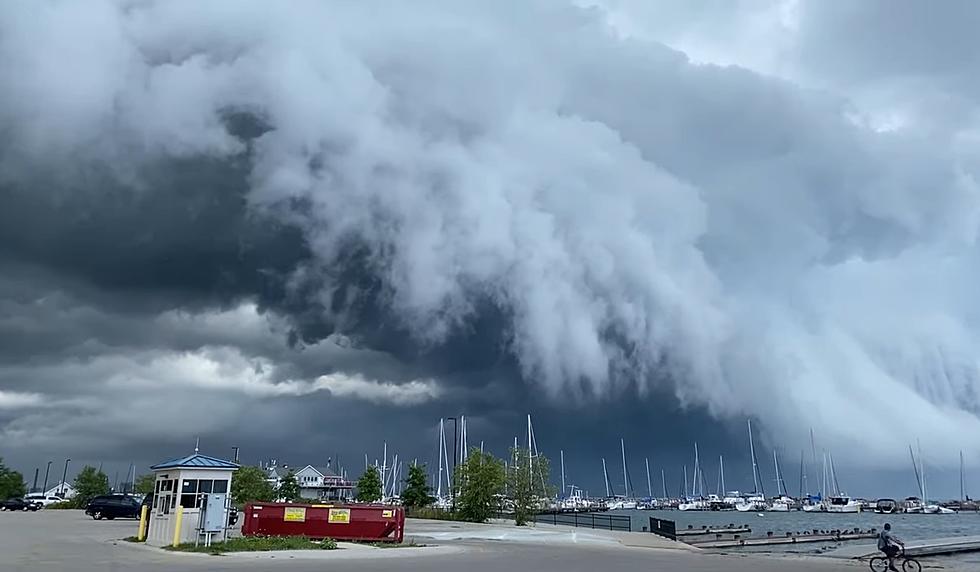
If you've ever had the privilege of visiting the Great Lakes area, you know that weather can change in a heartbeat. One visitor near Lake Michigan captured a stunning time-lapse of a storm that suddenly popped up rolling in over the water.
Here's how the person who shared the video described what happened:
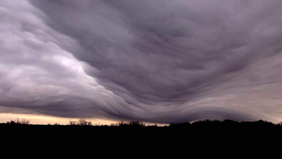
I was with my family on the south side of Milwaukee on a perfectly clear afternoon, when suddenly, the sky darkened. These dramatic arcus clouds moved so fast that I thought the only way to properly capture them was with a time-lapse video. Within moments, the sky darkened, the wind whipped the sand around the shore, and we quickly took shelter in our vehicle.
This is what they saw:

It's easy to mistake this type of cloud for a wall cloud that has the capability to drop a tornado. Arcus clouds and the rolling motion occur on the leading edge of a thunderstorm as Wikipedia mentions.
A few years ago, a thunderstorm spun off a huge waterspout viewable from the Illinois shores of Lake Michigan.
Gotta love lake-effect weather. If you don't like the weather when you arrive at the Great Lakes, wait 10 minutes and it will likely change.
KEEP READING: What to do after a tornado strikes
KEEP READING: Get answers to 51 of the most frequently asked weather questions...

More From KICK FM, #1 For New Country