It appears that summer is about to reach its hottest moments of the year this next week as Missouri residents are being warned to prepare for three days of dangerous heat by forecasters.
It would be a very good thing if you wake up Monday morning in Missouri and see rain shower and/or cloudy conditions because the opposite could mean big tornadoes are likely later in the day across the state.
This will likely sound alarming and it really kind of is. The weather radar in St. Louis, Missouri will be down for at least 2 weeks in March and there's no way to turn it on if severe weather develops.
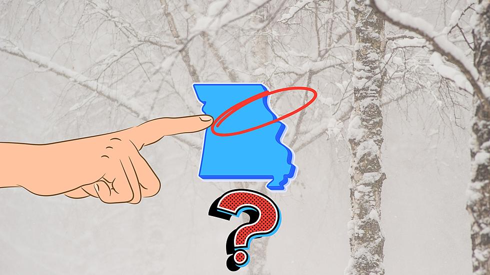
It's always good to pay attention when a winter storm is about to trek through Missouri. It might be more important than ever for the northeastern part of the state where there is wild uncertainty about how much snow will fall and where according to meteorologists.
When you think of January in Missouri, you likely think of thick sweaters and furnaces going full blast. That wasn't true one New Year's Day in Missouri when the state began the year with all-time record highs that have never been broken.
It's been awhile since northeast Missouri and west-central Illinois have seen snow fall from the sky. I'm not talking about flurries, but real snowfall. That will likely happen for the first time this season early Sunday morning, but I've got good news, too.
Surprised by the heat that Missouri and Illinois have had to begin Fall? Don't get used to it as a sudden change in weather patterns means a cooldown is coming soon.
If someone asks you how hot Missouri will be, it's best not to answer. I say this because someone did ask meteorologists what Missouri would feel like at the beginning of October and the answer was "Texas". Seriously.
I did a double-take when I saw this. According to meteorologists, what appears like an omega block is situated over Missouri and it's preventing Fall weather from really kicking in.